Getting Around Salvador apps, the metro, boats and hills
Getting around Salvador: when to use Uber or 99, what the metro actually solves (including the airport), when buses are worth it, the lifts, the bay boats — and why you don't need a rental car.
The essentials in 30 seconds
Getting around Salvador is easier than the hills suggest. For most visitors the answer is simple: use a ride app — Uber and 99 both work well here and are cheap by European or North American standards. The metro has two lines and reaches the airport, which makes it the smartest way in from the plane. City buses go everywhere but are slow and hard to read if you don't speak Portuguese. The historic centre is walkable, and the two free-standing lifts — the Elevador Lacerda and the Plano Inclinado Gonçalves — do the vertical work between the upper and lower city. Ferries and small lanchas cross the bay for a couple of reais. You will not need a rental car.
Ride apps: the default answer
If you take one thing from this guide, take this: Uber and 99 are the way most visitors get around Salvador, and they are genuinely inexpensive. Short hops inside the Cidade Alta or from the historic centre to Barra typically land in single-digit-to-low-teens reais; a longer run out to Rio Vermelho or Itapuã still won't feel expensive to anyone paying in dollars or euros. 99 is the Brazilian competitor and often undercuts Uber slightly; it's worth having both installed and comparing before you tap. Both accept a foreign card in the app, which removes any argument about the fare and any need to carry cash.
Two practical notes. First, in the tight lanes of the Pelourinho your driver often cannot reach the exact pin — walk to a wider corner or a named square and set the pickup there. Second, at night ride apps are simply the right choice; this is not a city where you walk home across empty streets after dinner, and a car to the door costs less than a beer. Our Salvador safety guide goes into that in more detail.
The metro — fast, clean, and it goes to the airport
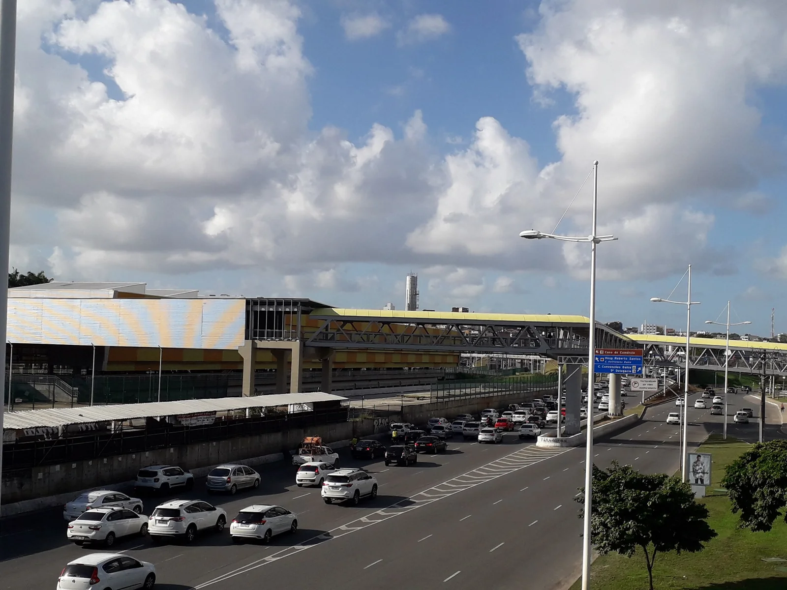
The Salvador metro is modern, air-conditioned and very good at the one thing it does. There are two lines and 20-plus stations across roughly 38 km:
- Line 1 (blue) — Lapa, in the centre, out to Águas Claras and Pirajá, connecting to the bus network.
- Line 2 (red) — Acesso Norte along the Avenida Paralela corridor to Mussurunga and Aeroporto, with a short free shuttle between the airport station and the terminal.
Trains run from about 05:00 to midnight and a single ride costs a few reais — cheaper than a bus in most European cities. The catch for tourists is coverage: the metro was built for commuters, not sightseers, so it does not serve the Pelourinho, Barra or Rio Vermelho directly. In practice you'll use it for exactly two things — the airport run, and reaching the Lapa bus hub — and take a car for everything else. That airport connection is the good one: from the plane it is reliably faster and cheaper than a taxi in traffic. Our Salvador airport guide covers the arrival in full.
Buses: comprehensive, cheap, and a lot of work
Salvador's bus network reaches every corner of the city and costs around six reais a ride, with BRT corridors and the Salvador Card allowing integrated transfers between bus, BRT and metro on one fare. Locals live on it. Visitors mostly shouldn't bother — routes are announced by destination in Portuguese on the windscreen rather than by number in any legible system, the buses are crowded, and a ride app costs so little that the savings rarely justify the confusion. The honourable exception is the seafront run: the buses that trace the coast from Barra out through Ondina, Rio Vermelho, Amaralina and Pituba are easy to follow, because the sea stays on your right and you get off when it looks good. Use a maps app with live transit directions and you'll be fine.
The lifts and the funicular — Salvador's vertical transport
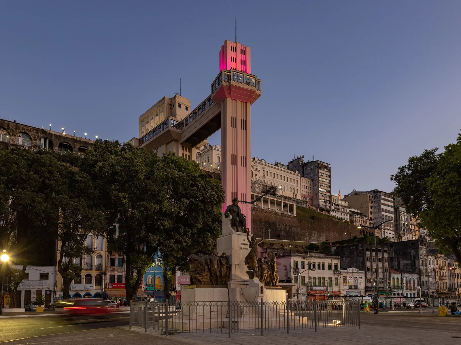
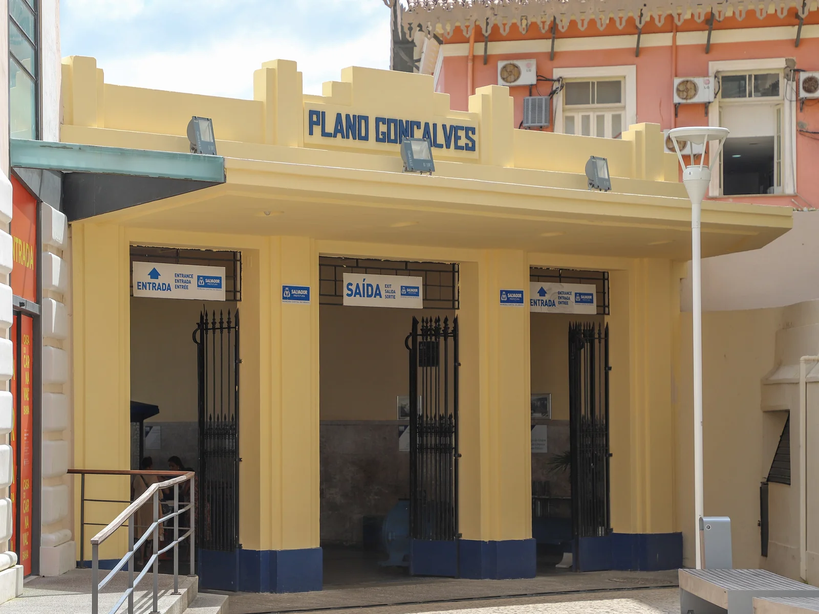
The Cidade Alta sits about 70 metres above the Cidade Baixa, and the city solved that a long time ago. The Elevador Lacerda, open since 1873 and rebuilt in art deco in the 1930s, drops four cars between the Praça Municipal and the Comércio district in around thirty seconds, free to ride in 2026. It is the most photographed thing in the city and also a perfectly ordinary commuter link. A few hundred metres away, the Plano Inclinado Gonçalves is a small funicular doing the same job on rails down to the Mercado Modelo. Both run daily; both cost less than a coffee. Between them, they are how you get from the historic centre to the boats.
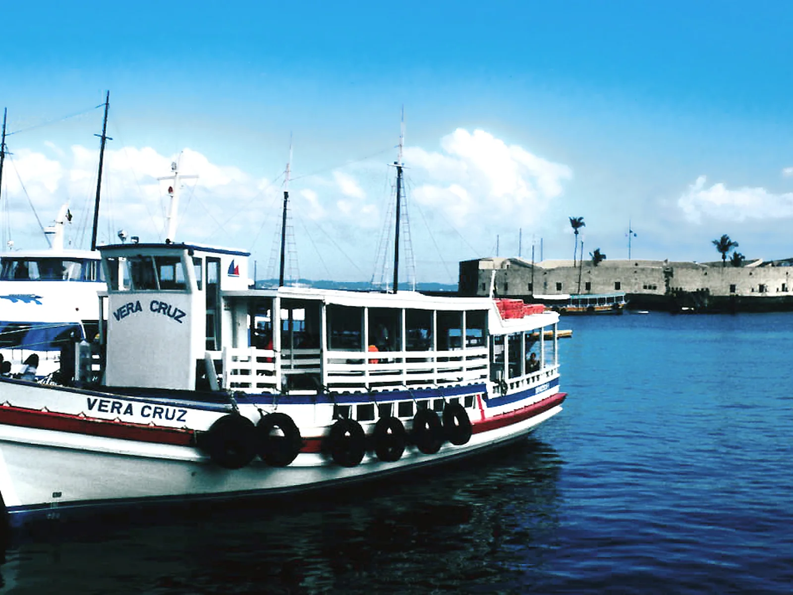
Boats: ferries, lanchas and schooners
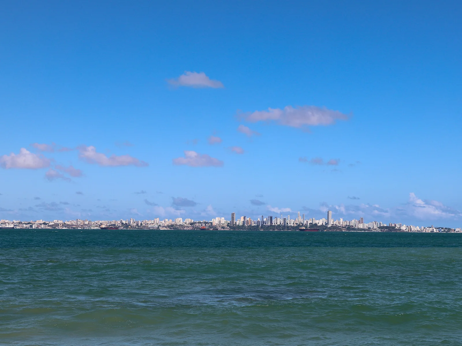
The Bay of All Saints is not scenery — it's infrastructure. From the terminals below the Cidade Alta:
- The car-and-passenger ferry leaves the São Joaquim terminal in Comércio for Bom Despacho on Itaparica island, roughly an hour, for well under ten reais on foot.
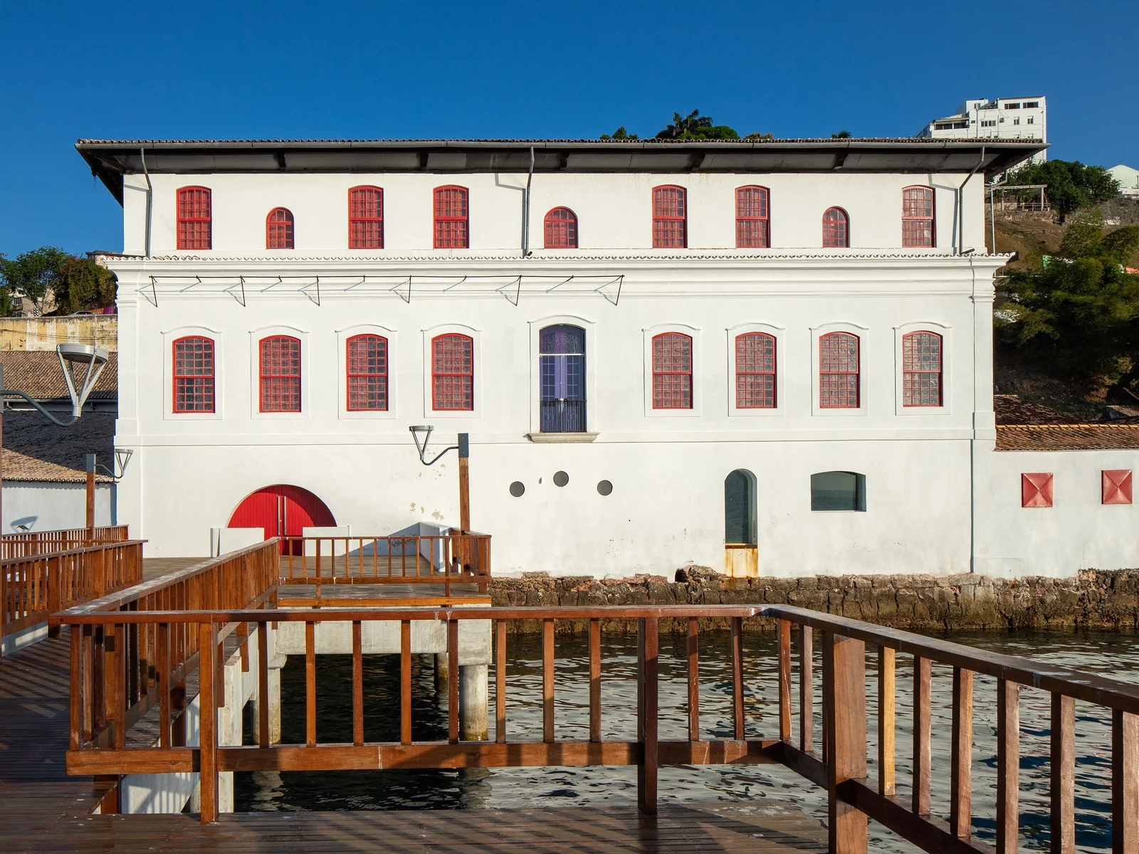
- The lanchas — small fast launches — run from the Terminal Náutico beside the Mercado Modelo to Mar Grande in about 40 minutes, for a similar price. This is the pleasant one.
- Day schooners loop out to Ilha dos Frades and Itaparica with swimming stops, sold as a tour rather than transport.
- Catamarans to Morro de São Paulo leave from the Terminal Náutico and take about two and a half hours. The crossing can be rough; take something for seasickness if you're prone.
Our day trips guide has the full picture on which boat goes where.
Walking — and where it stops making sense
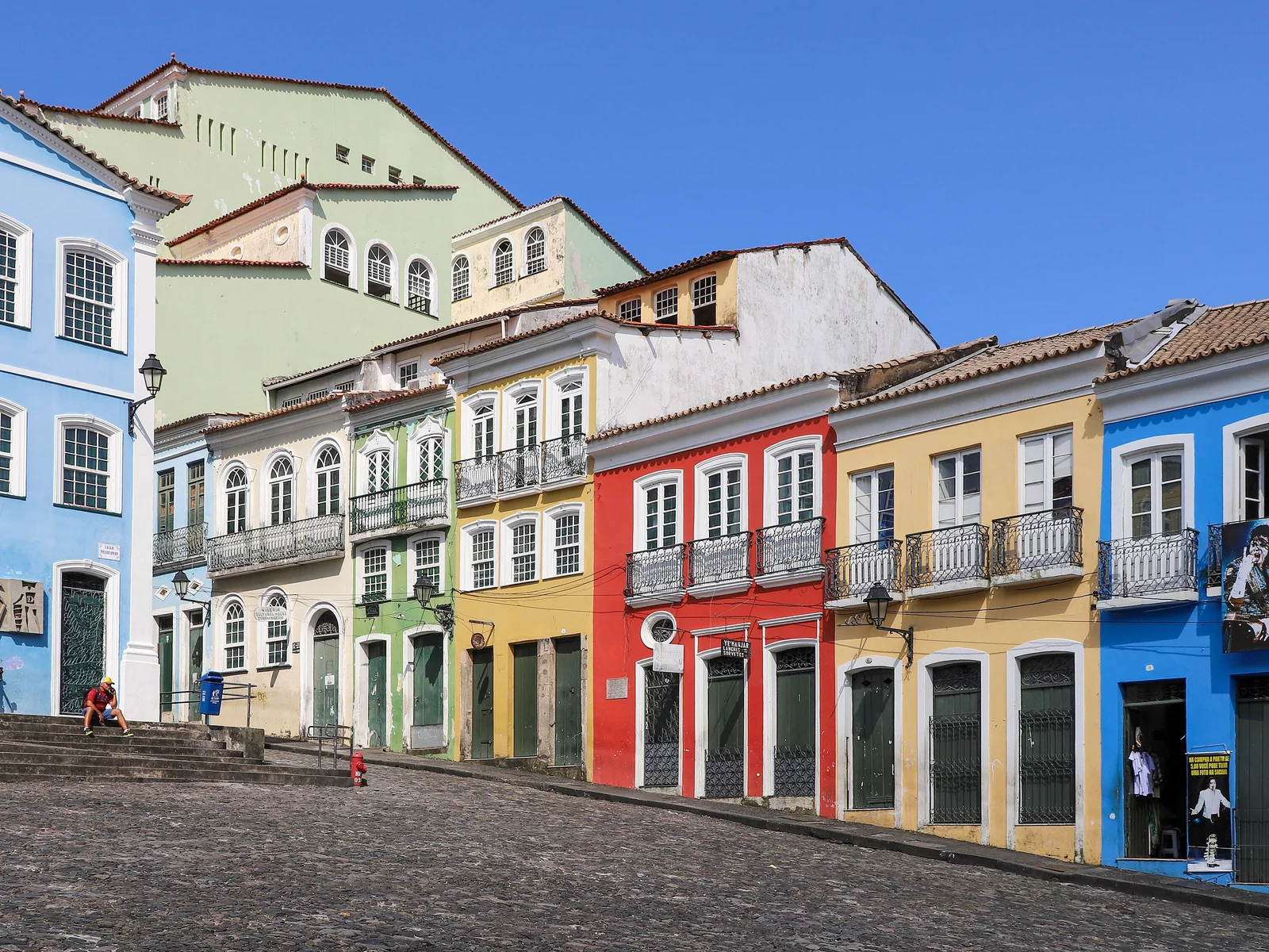
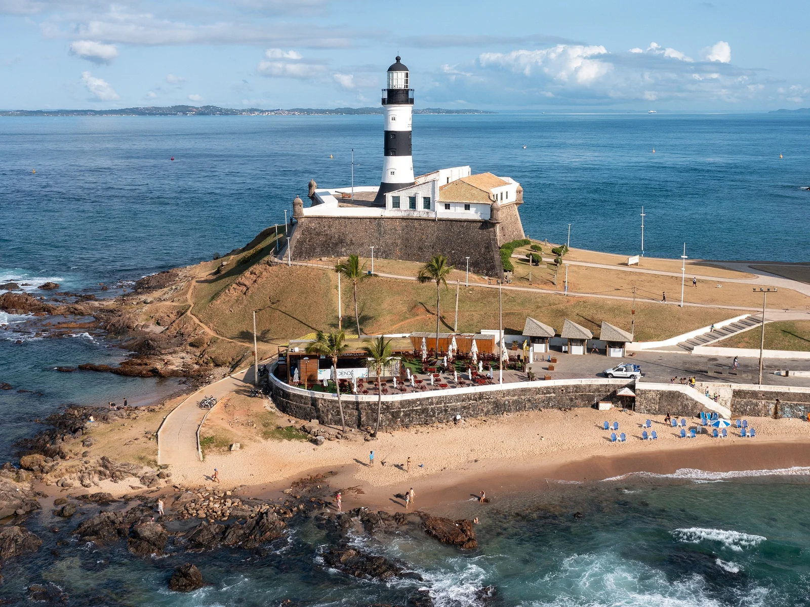
The historic core is best on foot, and that's the whole argument for staying in it. The Pelourinho, the Terreiro de Jesus, the Praça da Sé, the Elevador Lacerda, the Mercado Modelo and a dozen churches and museums sit inside a walkable rectangle of maybe fifteen minutes end to end. Barra is walkable within itself — the lighthouse, the two beaches and the promenade. Rio Vermelho is walkable within itself. What doesn't work is walking between those areas: the connecting stretches are long, hot, hilly and, in places, not somewhere you want to be after dark. Walk within a neighbourhood; take a car between neighbourhoods. Wear real shoes, not flip-flops — the cobbles are uneven and worn slick.
Money, apps and the small stuff
A few practicalities that make the whole thing smoother. Put a card in Uber and 99 before you land, so you never negotiate a fare. Download offline maps — signal is patchy in the lower city and inside the market halls. Carry a little cash in small notes for the elevator, the ferries and the acarajé stand, since some of them still don't take cards. If you plan on real bus use, buy a Salvador Card for the integrated fare. And learn four words of Portuguese for the driver — por favor, obrigado, aqui (here) and pode parar (you can stop) will carry you a long way; our Portuguese phrases guide has the rest.
Put together, transport in Salvador comes down to a simple rule: walk the neighbourhood you're in, and take a cheap car between neighbourhoods. That rule gets much easier to follow when the neighbourhood you're in is the one you actually came to see. All four of our boutique suites are in the Cidade Alta, a few minutes' walk from the Pelourinho, the Elevador Lacerda and the boats.
Salvador, in images
Photographs of the neighborhood, restaurant, and beach featured in this guide, with credit to each photographer.
Ready to discover Salvador?
Book one of the four Via Avantgarde suites in the Pelourinho — and receive the complete guides with recommendations for your stay.